
Commercial Real Estate
Mapping Software

Impress clients with insights they can see and understand. Turn complex market data into simple, actionable maps that tell the story.

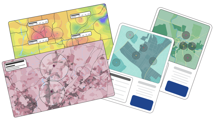
Commercial real estate mapping software 3d map with data points

What Is Commercial Real Estate Mapping Software?

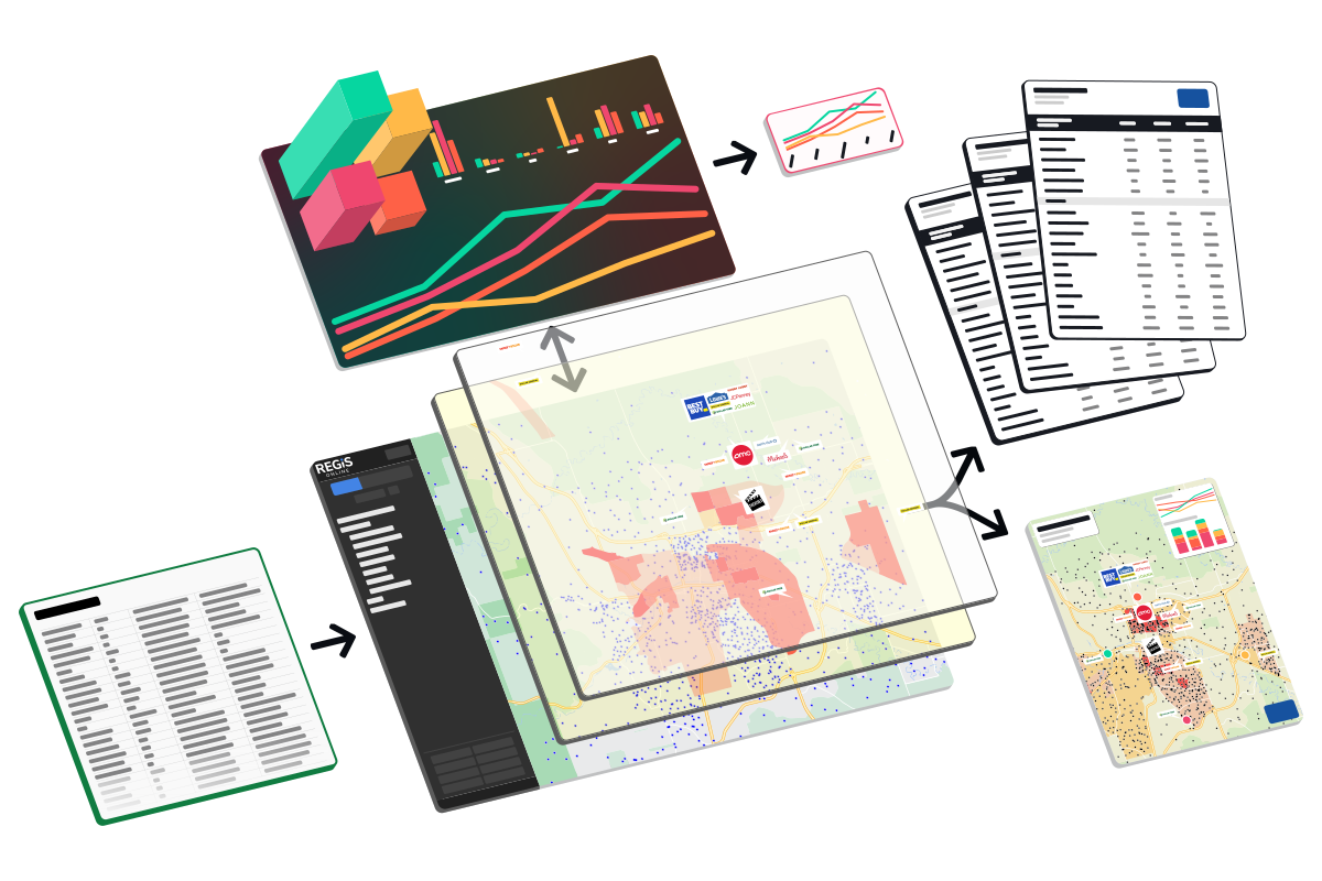
Commercial real estate mapping software lets brokers, retailers, and developers visualize properties, trade areas, and market data on interactive maps to support site selection and client presentations. REGIS Online is a commercial real estate mapping platform that combines nationwide mapping with demographic reports, merchant locations, traffic counts, and mobile visitation data. Users can build custom trade areas, run void analysis to identify tenants for vacancies, and export polished, branded maps and reports for client presentations, all within a single platform rather than switching between separate research and design tools.

Why CRE Pros Use Real Estate Mapping Software

Choosing the right location can make or break a commercial real estate investment. The right tool turns raw data into clear insights. With REGIS Online, you get powerful data and intuitive tools in one seamless mapping platform.

Map pin icon

Create Client Ready
Maps And Reports

Design and share beautiful maps and reports. Customize data to highlight what matters most to you.

Bar graph icon

Data Backed Decisions
On New Locations

Build trade areas, visualize demographics, label traffic counts, show retail and more with the data built into REGIS Online.

Comparison icon

Save Time Comparing
Site Viability

Stop searching for answers in multiple tools - REGIS Online has the data and tools needed to close deals faster.

REGIS Online 3d screenshot with data points

Commercial Real Estate Mapping with REGIS Online

REGIS Online is designed to be the best mapping software for commercial real estate. The tools and data available help you analyze markets, identify opportunities, and present findings so you win deals faster.

All In One Mapping

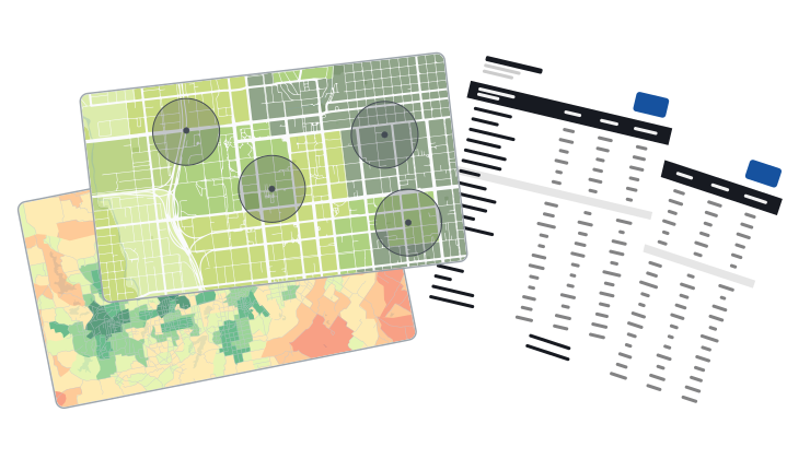
Tell your property's story with beautiful commercial real estate maps. Customize data, logos, text, and more to create a cohesive and intriguing presentation.

Examples of beautiful commercial real estate maps

Beautiful Maps

Commercial real estate mapping can often be cluttered, with too many data points and no cohesive story. Thanks to the tools available in REGIS Online, your maps will stand out above the rest!

See Sample Maps
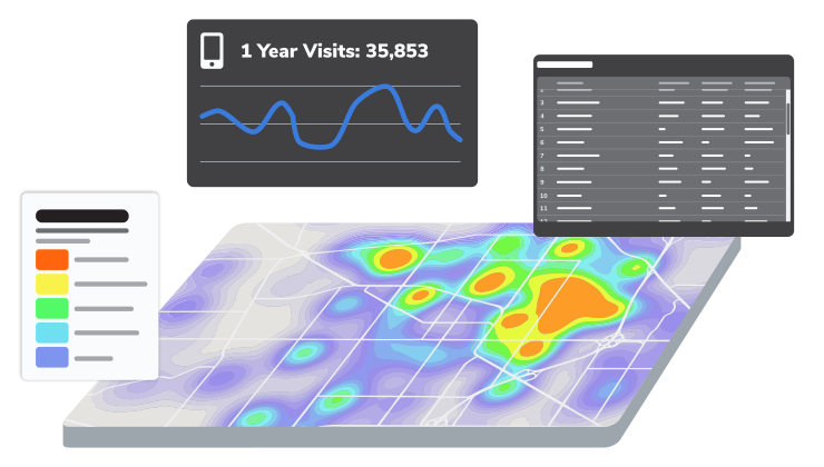
Commercial real estate mapping data visualization

Powerful Data

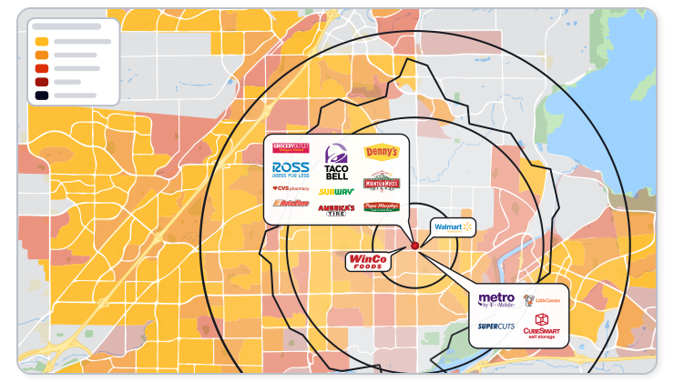
Whether doing research or preparing a presentation, REGIS Online has all the data you need to understand and relate what makes any commercial real estate project worth investing in.

See Our Popular Data
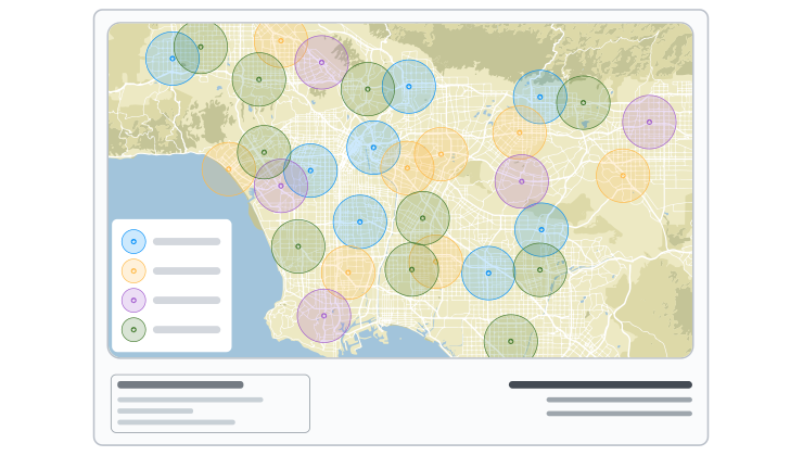
Customizable commercial real estate mapping templates

Standout Templates

Create real estate marketing maps that reflect your brand, and tell your property's story. Tailor each layout to your needs with complete control over colors, logos, headings, and data.

Data for Commercial Real Estate Mapping

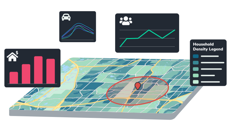
Layer in the data types that matter most for evaluating any location, all built directly into REGIS Online.

Demographics icon

Demographics

See age, income, education, population, and hundreds more.

Learn More
Merchants icon

Merchants

See competition, and opportunities, in every market.

Learn More
Mobile Data icon

Mobile Data

Better understand customer behavior and market reach.

Learn More
Traffic Counts icon

Traffic Counts

Label traffic for each direction, with filters for time of day and day of week.

Learn More

Analyze Markets & Opportunities

Go beyond raw data with analytical tools built to evaluate trade areas, fill vacancies, and identify the best markets for growth.

Trade Area Analysis icon

Trade Area Analysis

Build custom trade areas based on distance, time, or demographic variables.

Learn More
Void Analysis icon

Void Analysis

Find the best tenant for any vacancy by comparing your market to a target area.

Learn More
Market Optimization icon

Market Optimization

Make expansion or relocations easy with deep analysis.

Learn More

Commercial Real Estate Mapping for Site Selection

Turn mapping data into confident site selection decisions. Combine demographics, trade areas, traffic counts, and merchant data in REGIS Online to compare potential locations side by side and identify the strongest opportunities for your next project.

See Site Selection Software
Sharable commercial real estate maps and reports

Share Your Insights

Present your commercial real estate maps and data in whatever format best fits your needs. REGIS Online has the tools available for you to share in both traditional and innovative ways.

Share icon

Custom Ways To Share

Create PDFs, JPGs, or links to your maps for a more interactive experience.

Reports icon

Professional Reports

Email reports directly to clients or teammates right from REGIS Online.

Download icon

Download Data

Create comprehensive data packets to a CSV, or with our robust API.

What Makes REGIS Online The Best Choice

Don't just take our word for it. Literally thousands of CRE professionals use REGIS Online as their commercial real estate mapping software to improve their business.

FAQ

REGIS Online includes demographic reports, merchant and competitor locations, traffic counts, and mobile visitation data as standard layers. Higher-tier plans add active listings, financial detail, consumer expenditure, and other datasets for deeper market research.

Yes. REGIS Online's layer control tools let you import custom data, such as customer points or potential locations, and style it alongside built-in demographic and market data on the same map.

Yes. REGIS Online supports site selection by combining trade area analysis, demographics, traffic counts, and competitor mapping in one platform, helping teams compare potential locations and identify the best opportunities.

Yes. Maps and reports can be exported as PDFs or JPGs, shared as interactive links, or emailed directly to clients and teammates from within REGIS Online.

Yes. REGIS Online provides an API for teams that want to integrate commercial real estate mapping and demographic data directly into their own systems and workflows.

REGIS Online is available in three tiers — Starter, Standard, and Plus — each adding more analytical tools and data, from trade area mapping and demographic reports up to void analysis, market optimization, and full financial and consumer data.

REGIS Online is the best online gis program available

See How REGIS Online can help you

Let's connect and show what REGIS Online can do around one of your properties.